Hydroglyphics II
Detail, Hydroglyphics II
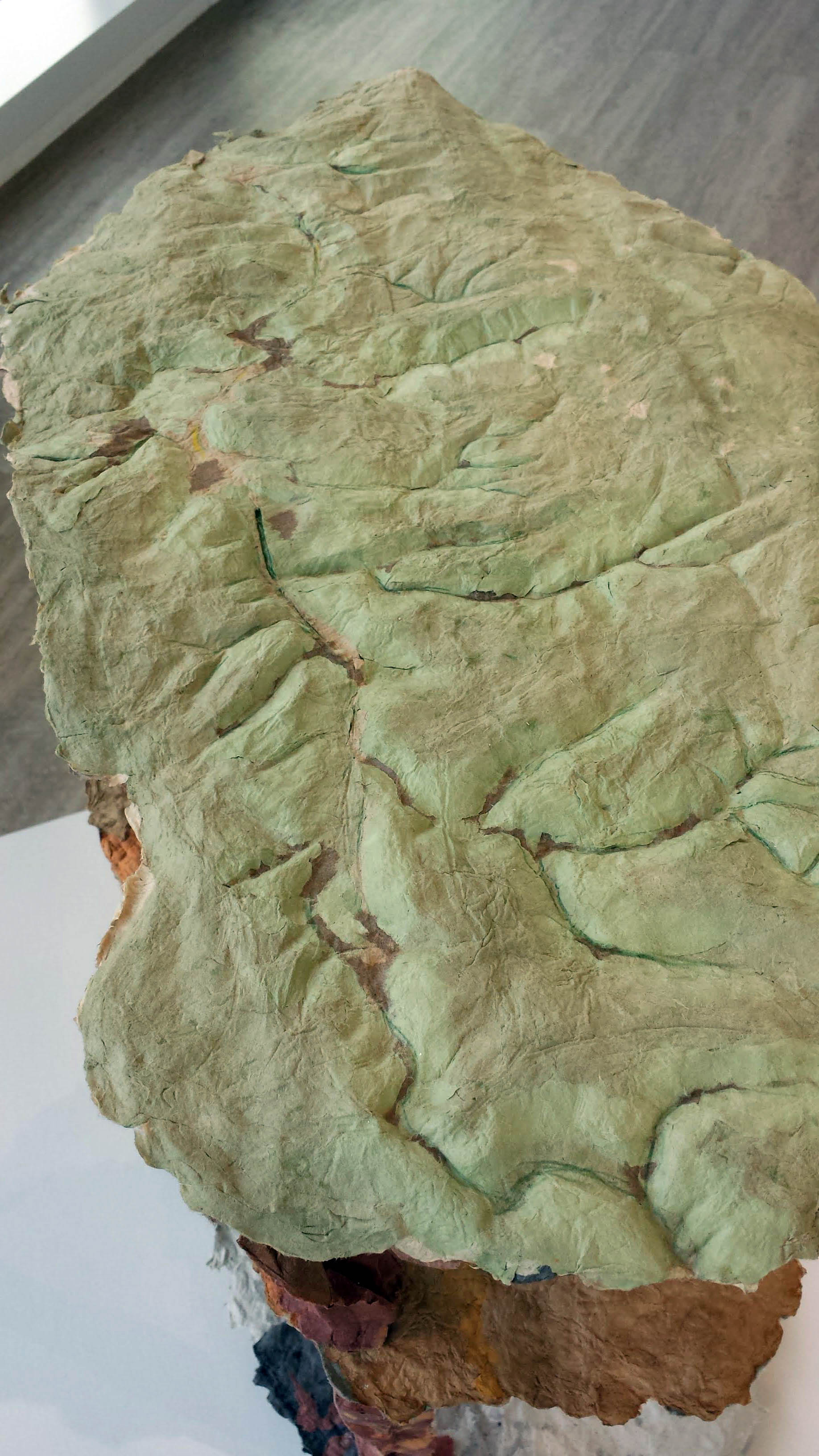
Hydroglyphics I
Detail, Hydroglyphics I
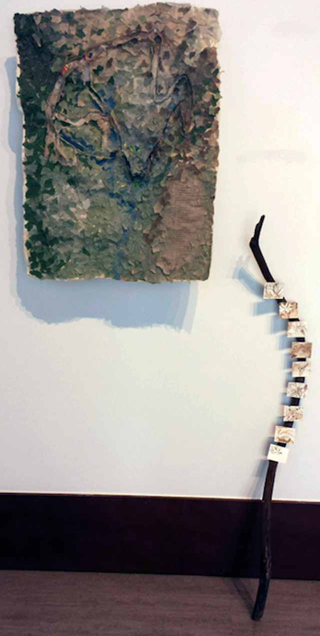
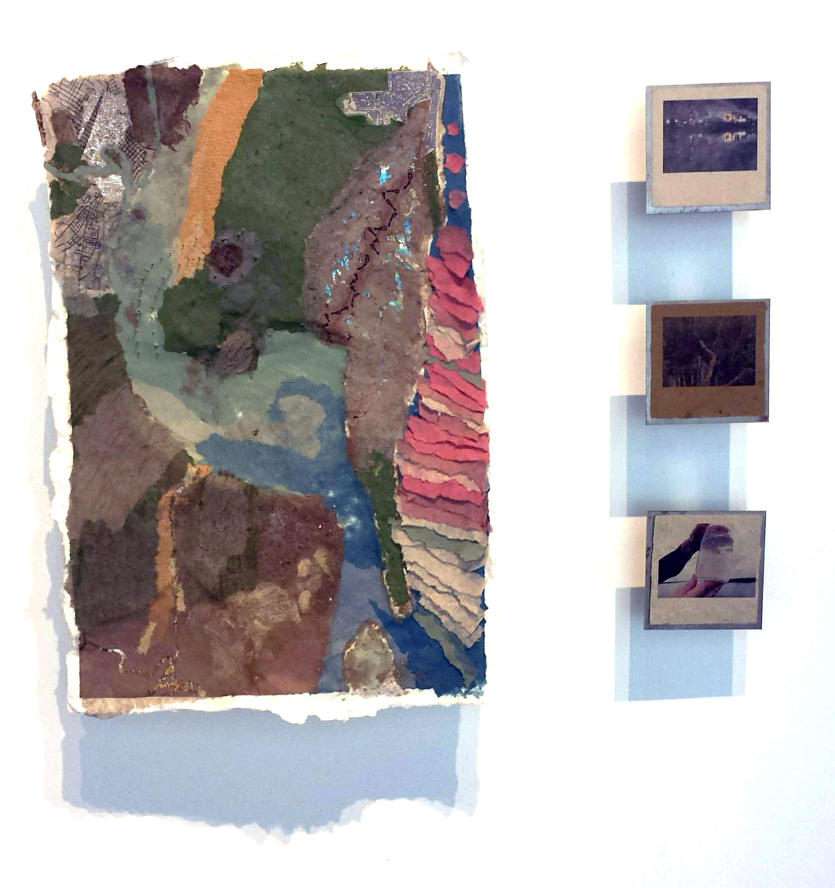
Treasure Trails
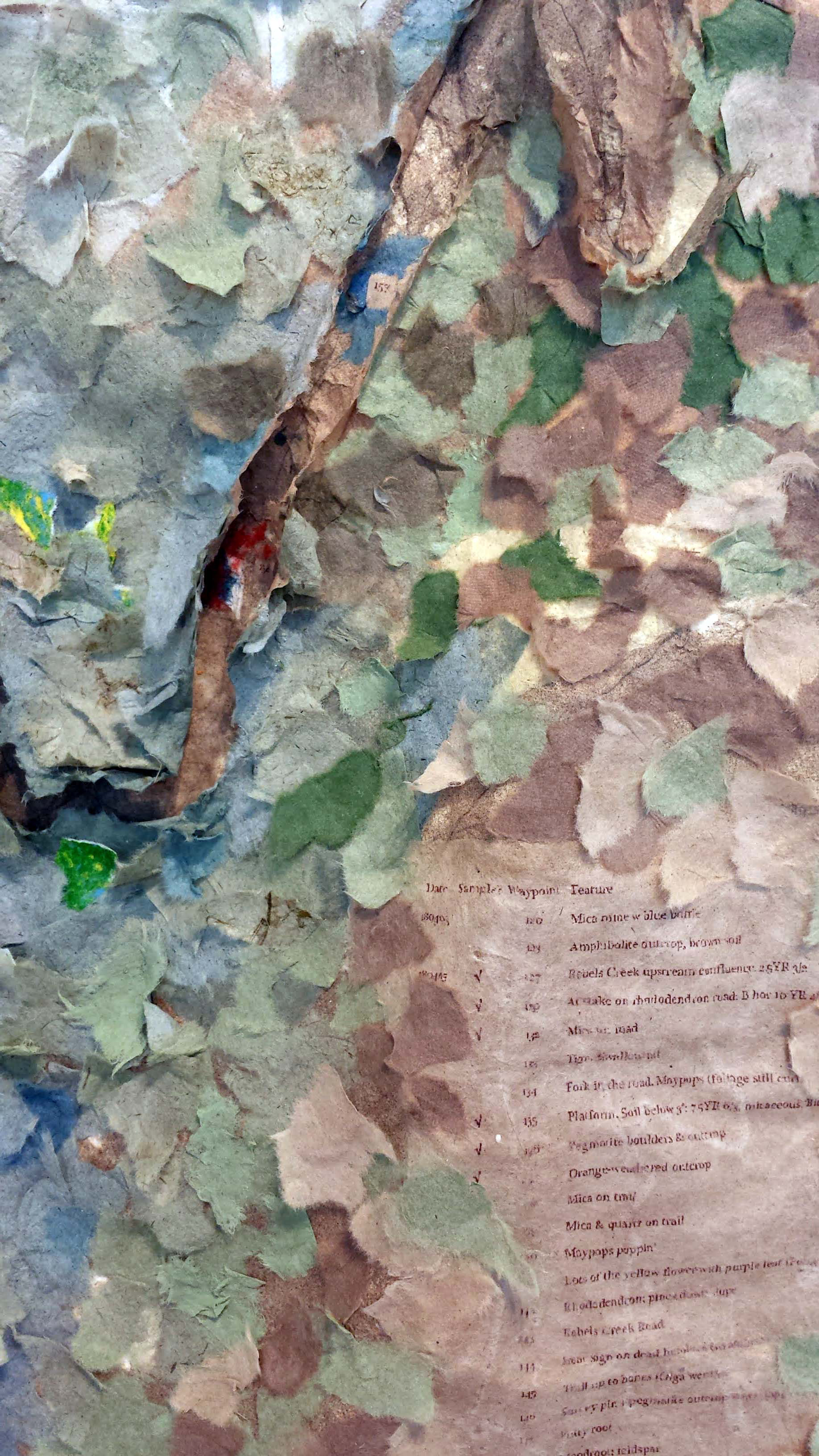
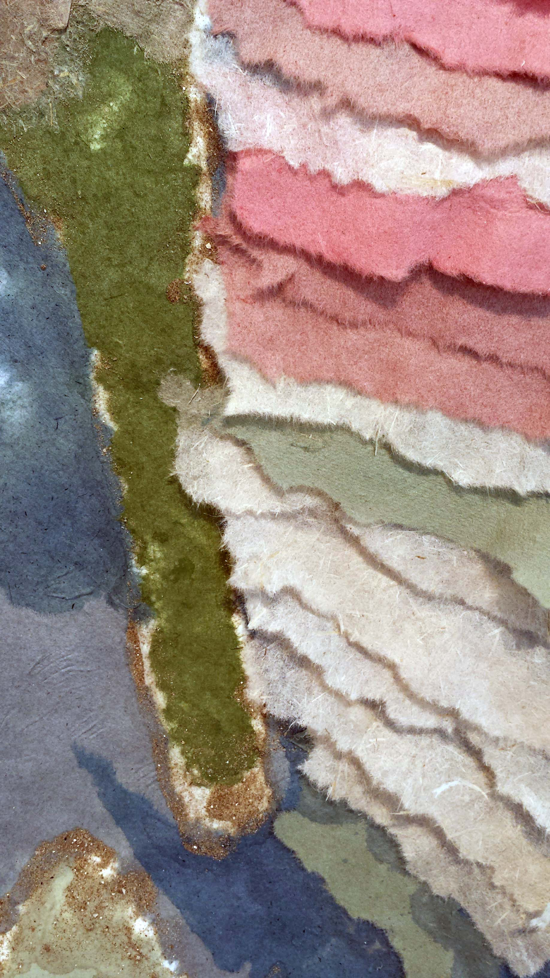
Detail, Treasure Trails
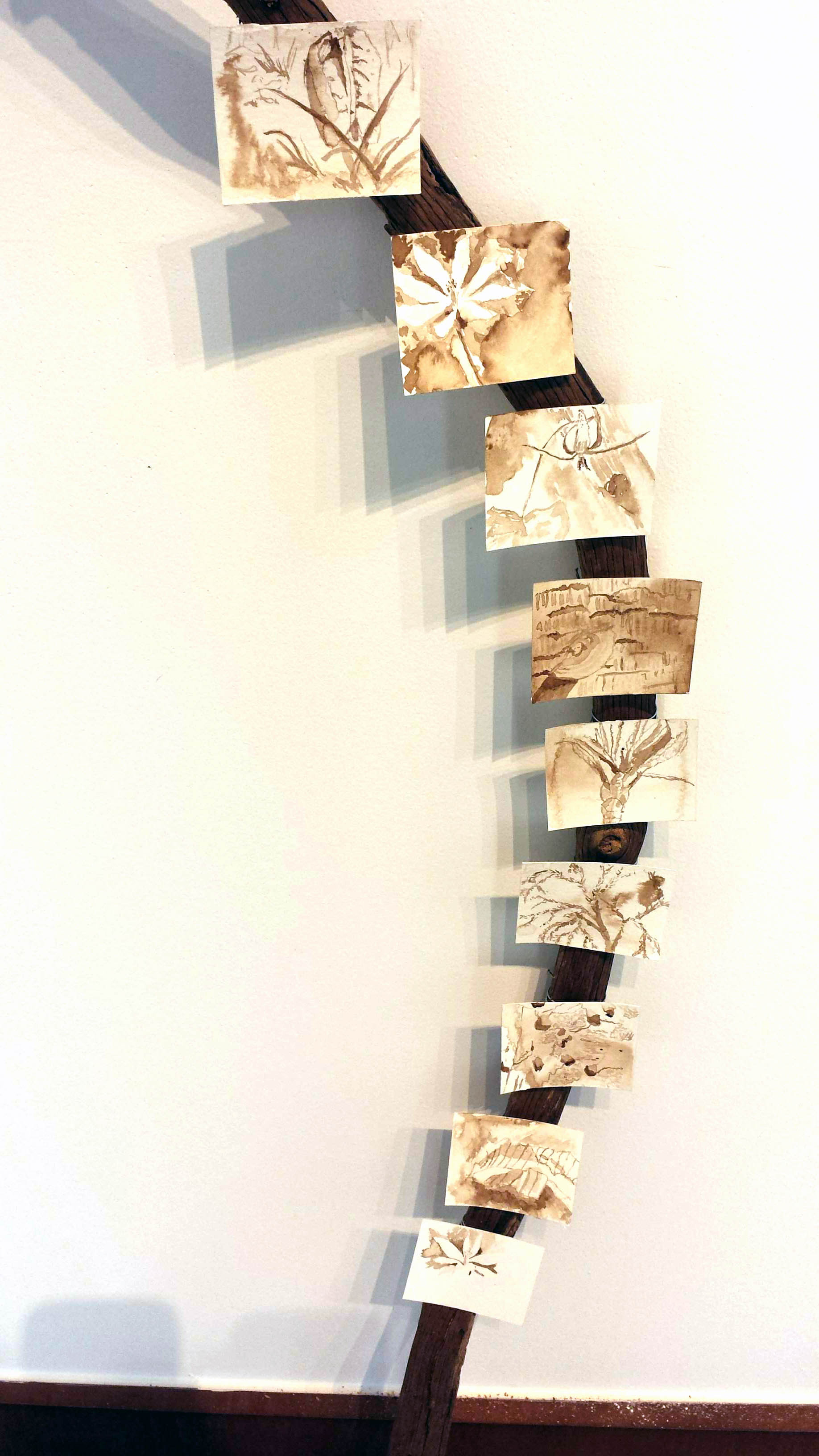
Detail, Treasure Trials (Walnut ink sketches)
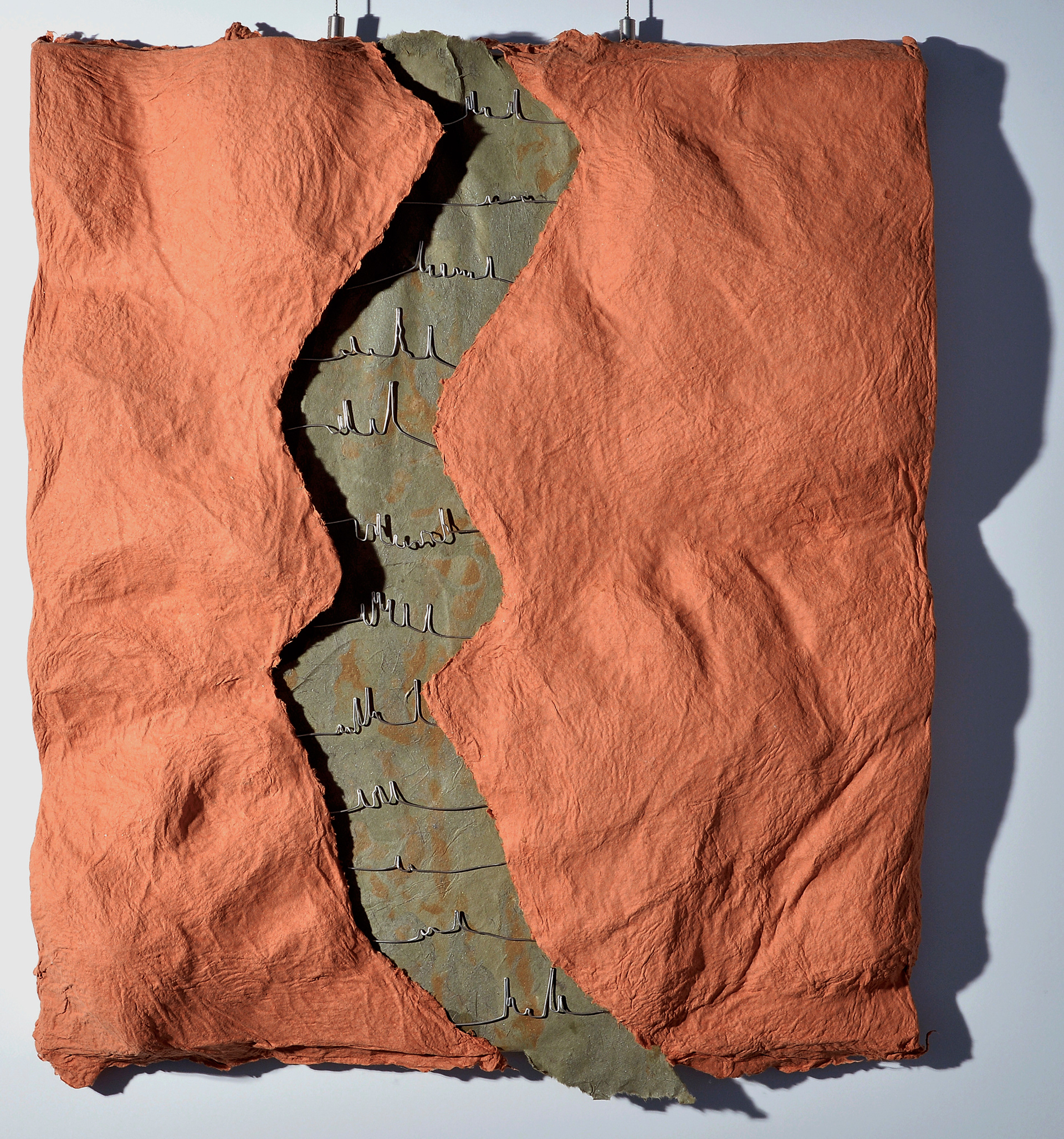
Don't Take it Litorally
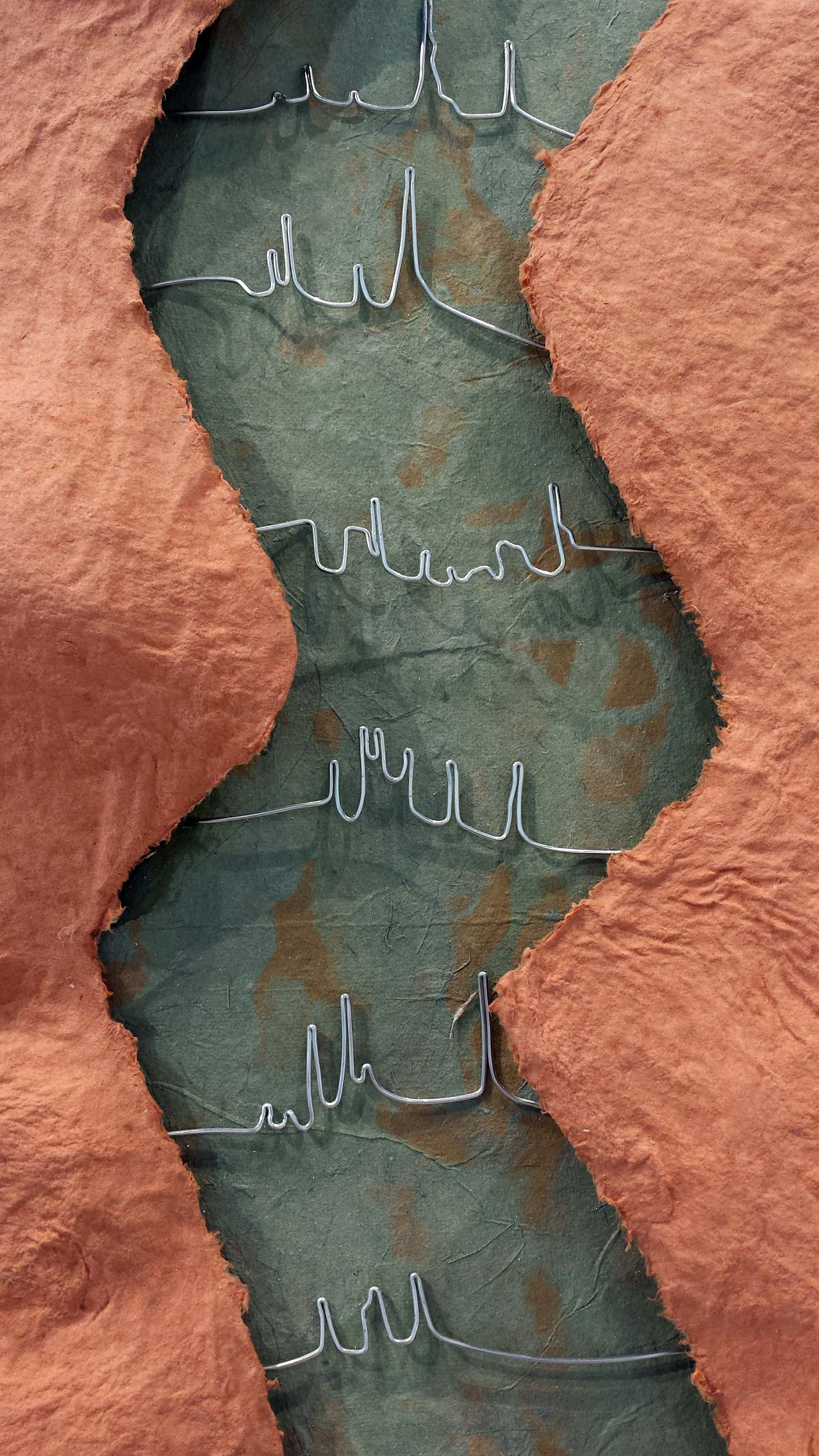
Detail, Don't Take it Littorally
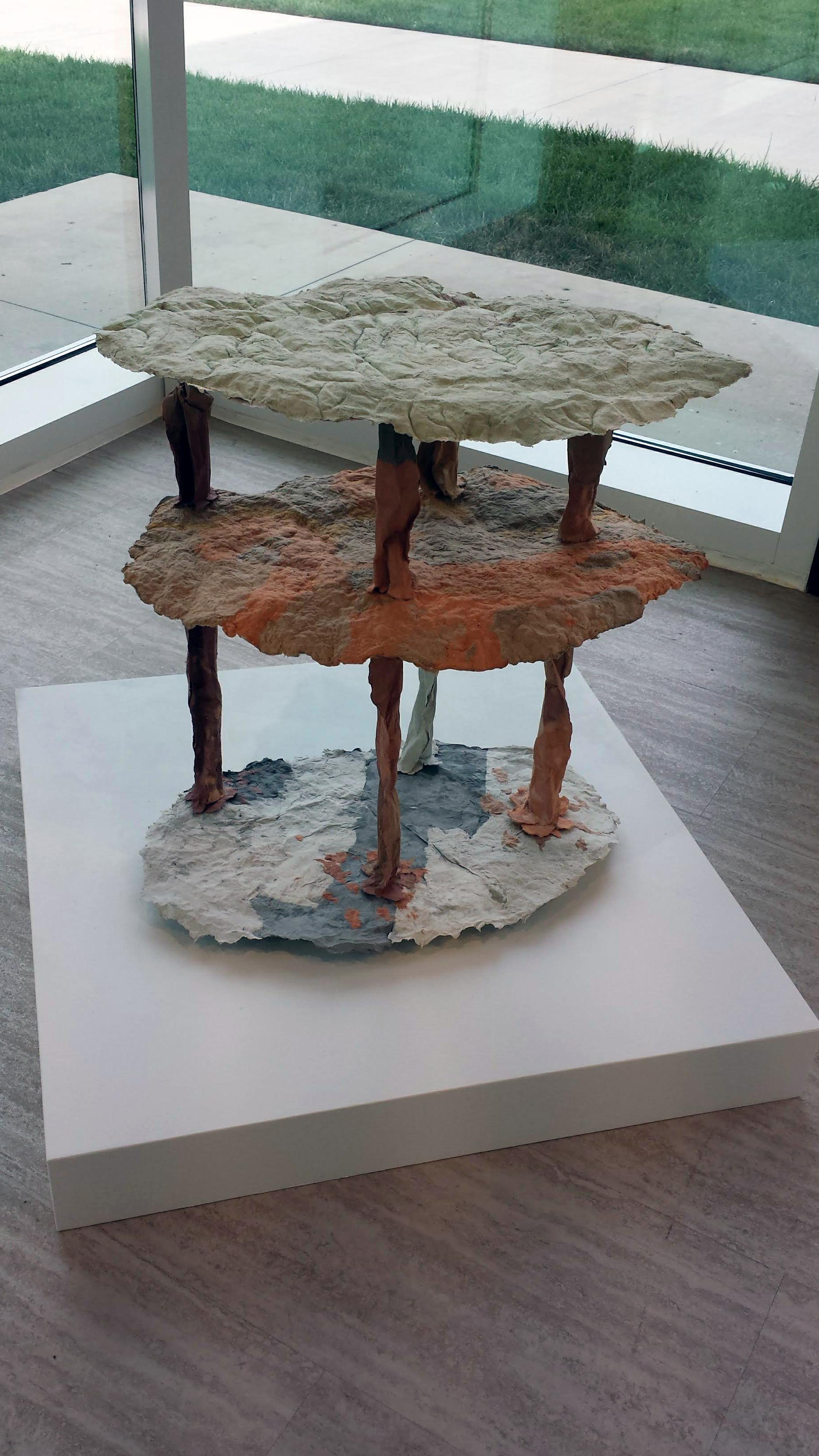
Dissected Landscape
Detail, Dissected Landscape
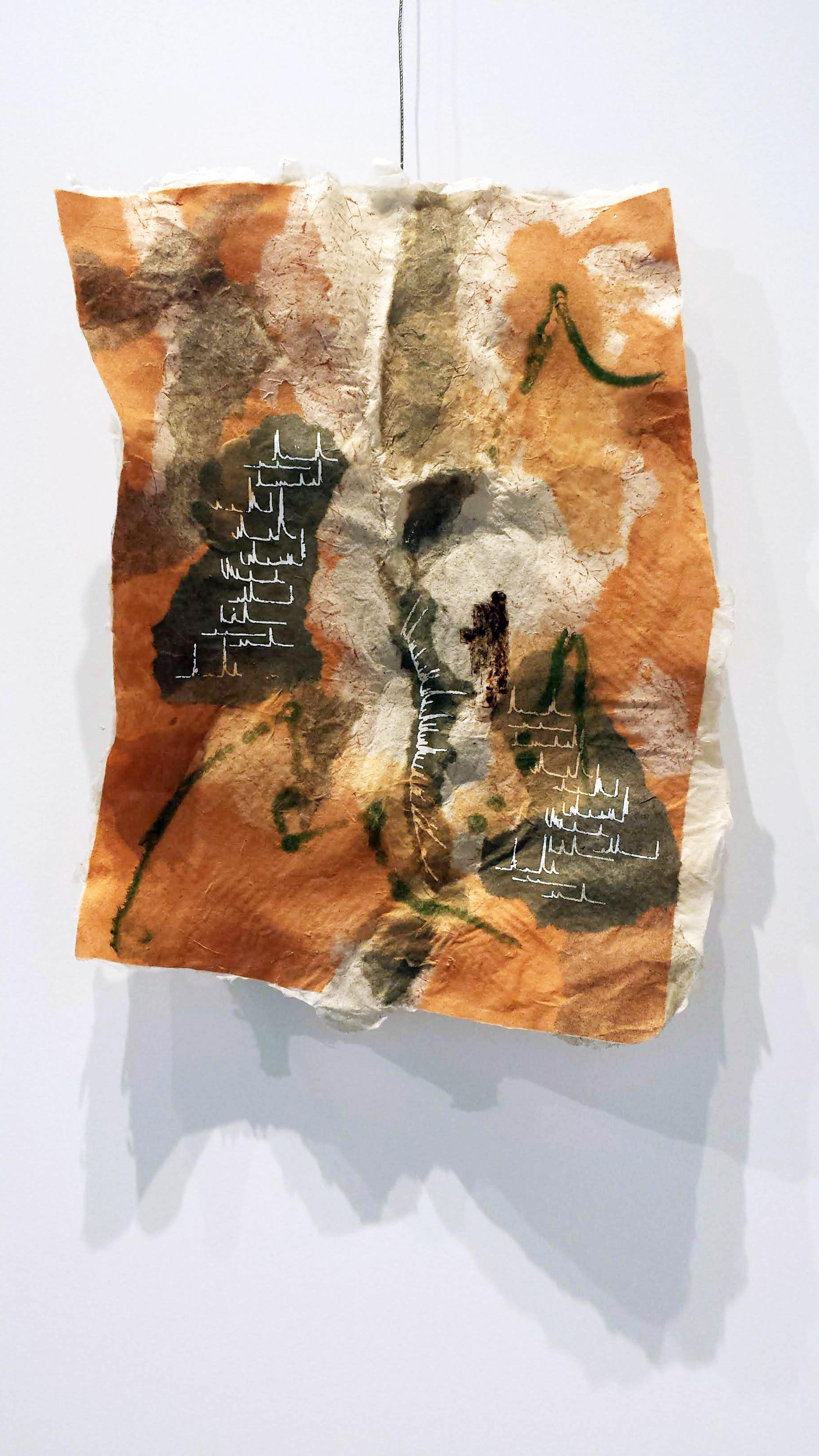
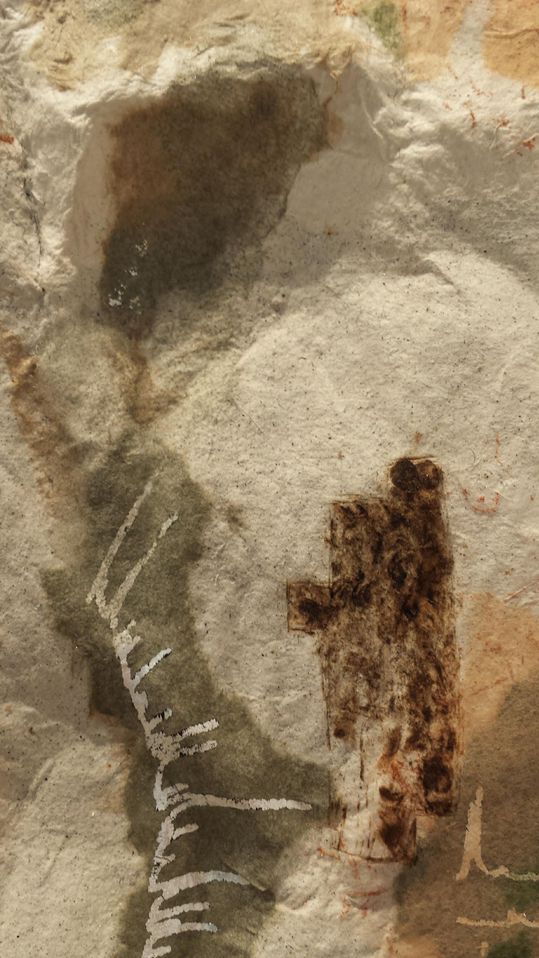
"Hydroglyphics" (I and II) are based on the Glendale Shoals Preserve landscape. Wires and silver foil transfers represent water level data from Lawsons Fork Creek. Each wire conveys one month of data (2017) with January at the top and December at the bottom.
"Treasure Trails" was based on exploration of the landscape surrounding High Cove, an intentional community near Spruce Pine, NC. References to mica mines, plant communities, and many other observed features are embedded.
"Don't Take it Littorally" focuses on the North Inlet-Winyah Bay National Estuarine Research Reserve (NERR) at Hobcaw Barony, SC. Three sets of data are represented. The colors on the right-hand side, from bottom to top, represent annual average winter surface water temperatures in North Inlet from 1980-2012, showing an overall warming trend. The corresponding summer abundance of small (<153 μm) mesozooplankton in North Inlet are represented by the graph that crosses diagonally in the upper right quadrant of the piece. Sixteen of the seventeen taxa studied decreased in abundance. Finally, the length of each pin outwards from the paper surface corresponds to salinity in Winyah Bay and Strawberry Swamp. The salinity in the swamp responds to local rainfall, while salinity in the bay is influenced by tidal cycles and flow conditions in the rivers that feed into it.
""Dissected Landscape" explores the Calhoun Critical Zone Observatory in Union County, SC. In this Piedmont landscape, farming by European settlers caused destructive erosion to lands that had been utilized by Native Americans for several thousand years. Topsoils eroded from the uplands were re-deposited in riverbeds, burying pre-existing topography. Later, rivers incised deep channels that expose the sediments and provide a glimpse of the old land surfaces. The top surface of the artwork is faithful to the modern topography, with the Tyger River as the main waterway. Below, the Hiwassee, Cecil, Appling, and Wilkes soil series are represented by the vertical legs and middle surface. The lowest surface represents the underlying geology.